Our Favorite Apps for Overlanding
In this day and age, our lives revolve around technology, sometimes more than we would like to. While we do like activities normally associated with being offline, we do make good use of technology as well, making sure it serves us and enhances our experiences and not the other way around. Below you will find a list of our most commonly used apps.
Wikiloc
This navigation app is probably the most used tool in our belt. It allows the user to plan their routes by drawing them, record the route they’re doing in real-time, or follow routes that other users have drawn or driven. It is meant for all kinds of activities:
Wikiloc search tool lets you look for recorded routes starting or passing through a certain spot on the map. Filtering for off-road activities, and the length and difficulty of the trail, you’ll be able to find exactly what you’re looking for, all over the world. It’s always smart to check the route by zooming in on the map to make sure it’s correctly tagged, as mistakes happen: the author might forget to stop recording the route and include hundreds of kilometers of highway; the state of the trails might change over time, they might be closed or paved over.
Our favorite feature of Wikiloc is drawing your own route. This option allows us to create a detailed route using Google Maps in satellite view mode. This makes the process very precise and gives us a high level of accuracy, as we can be almost certain that the route will be exactly as we see it from the air.
Wikiloc subscription costs 4,99 € for a period of three months, or 9,99 € yearly. We use our profile to connect with like-minded overlanders, and we sometimes publish our routes. Follow us!
2. Park4night + iOverlander
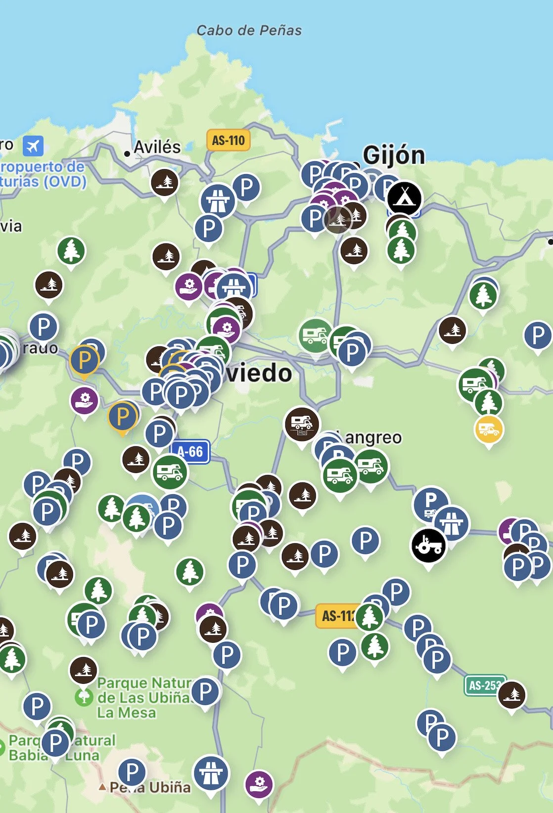
Looking for spots for wild camping is often a complicated and long process. Park4night sometimes makes it easier: this app is designed primarily for travelers in motorhomes or vans, but it does have an “off-road (4x4)” filter. The off-road spots listed are significantly fewer in number, but often well worth it: we found some of our favorite sleeping places through park4night all over Europe. The app also comes in handy when looking for a rest or lunch spot, as it lists picnic and recreational areas where sleeping is not allowed. It also lists campings, and here is where the reviews and comments from other users come in handy the most: you can easily find out about prices, cleanliness, or if a certain camping is closed out of season.
As with all collaborative platforms, the information provided might not necessarily be correct. Through this app, we’ve come across spots that were on private property or in strictly forbidden areas, so as always, relying on your own judgment is paramount.
Park4night allows you to look for places to sleep around you.
It’s necessary to mention the downside to park4night: this app inevitably brings a lot of traffic to the marked spots. More campers inevitably mean more garbage, more noise, and more disapproval from the local communities, which in turn often result in tickets, prohibitions, and sometimes even in violence. Don’t be that kind of camper! Leave every spot better than you found it, and as hypocritical as it may seem, think twice before adding a new spot to the map, especially when it comes to secluded 4x4 spots.
A similar service is provided by the app iOverlander, although there isn’t much information in it about Europe. However, if you travel to North America, this app will surely come in handy.
Park4night has a basic free version, and a subscription plan (1,99 € monthly or 9,99 yearly). The subscription unlocks the offline mode, which allows you to download maps and use them without an internet connection, a feature we found most useful on our trip to Norway.
3. Google Maps
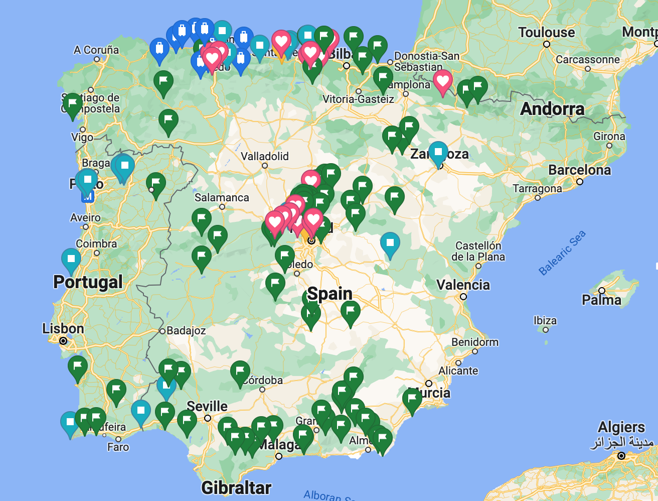
Good old Google Maps! It might seem basic, but we use this app for so many different things: navigating roads, finding and saving points of interest, searching for places to eat or sleep, and double-checking all of the above using the satellite view option. We have to admit our Google Maps is slightly out of control!
The little green flags represent places we haven’t visited yet :)
Google Maps are free, but unfortunately come with many badly positioned ads.
4. Showerme + gas stations
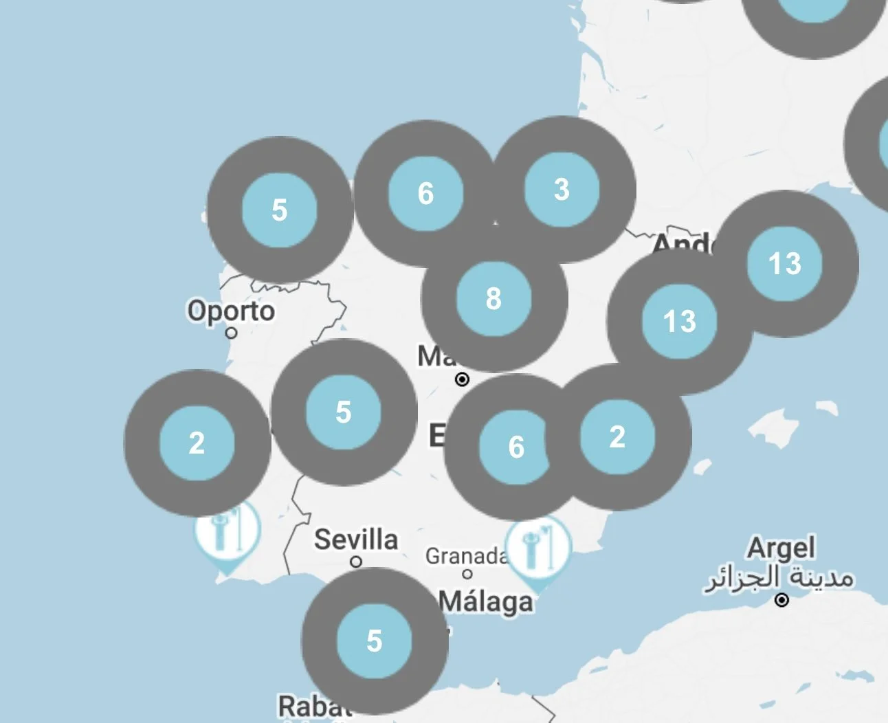
One of the most common questions we get, especially from friends who are not into overlanding, is: how do you keep yourselves clean? There are several ways we shower, sometimes using the water deposit in the car, sometimes spending a night in an accommodation (most often in a camping). But another very useful tool is the Showerme app, which provides you with a map of public showers in your area.
Showerme offers a map of public showers.
It’s also worth adding that gas stations often offer shower services for symbolic prices. Big gas station chains, such as BP, Shell and Repsol, also have search tools that allow you to locate a shower close to you.
Showerme costs 1,99 € in the App store or Play Store.
5. Petrol (Gasolineras España Ibergrupo in Spanish)
This app is a real gem, especially recently, with fuel prices fluctuating almost daily. Here you can find a map of gas stations around you, paired with their fuel prices.
The gas stations in green have the cheapest fuel.
The app also allows you to send the selected gas station’s location to Google Maps and navigate from there.
This app is completely free! It works better in some countries than in others, and luckily Spain is very well covered.
6. PhotoPills
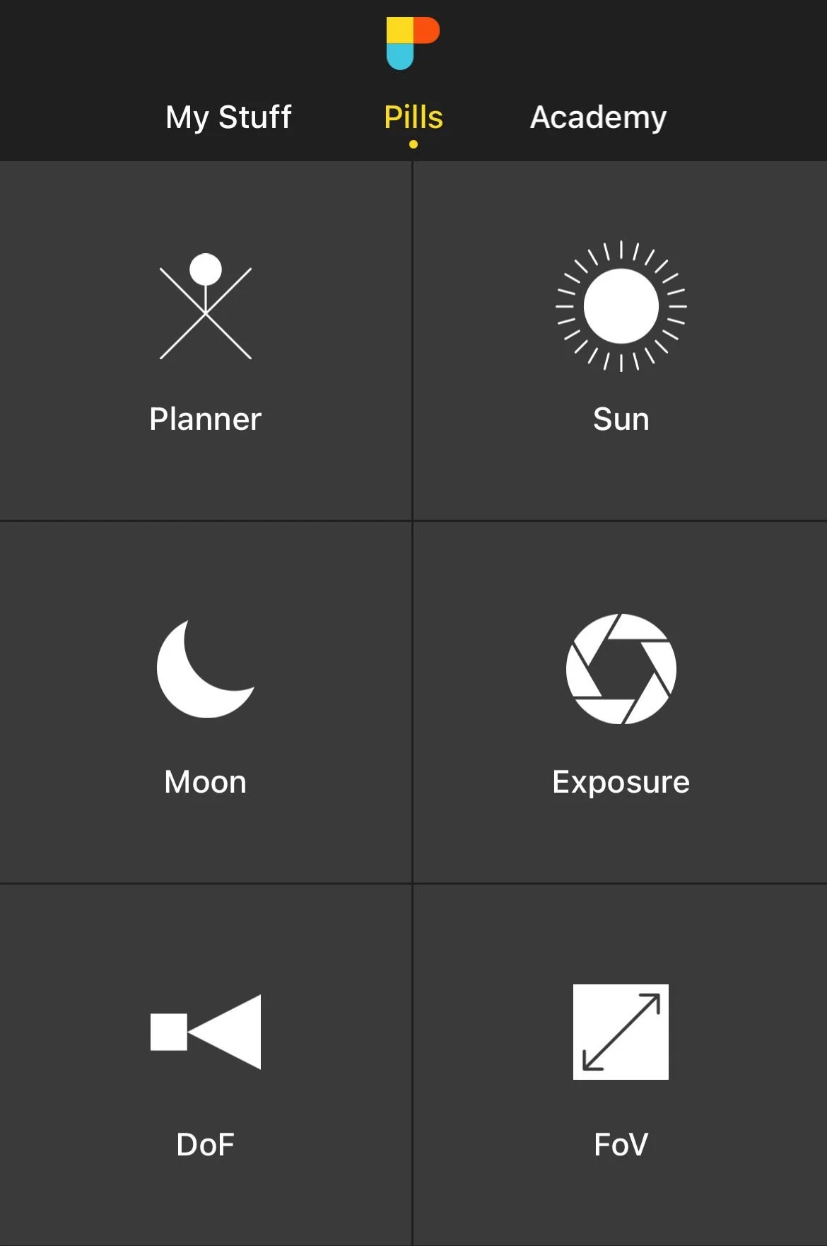
This app started out as a simple tool for finding out the position of the Sun and the Moon. Today, among photographers it’s commonly accepted as the best app on the market. It offers many useful options when it comes to camera settings, such as the depth of field, time-lapse, etc., as well as more advanced systems which calculate the time and the exact spot of a sunrise or sunset, the position of the Moon and stars or the Milky Way. PhotoPills is a fundamental tool for a professional photographer or an advanced user wanting to have better control over their shots.
PhotoPills is the essential tool for planning photos and videos.
PhotoPills costs 10,99 € in the App Store or the Play Store.
7. Yr.no
Overlanding inevitably includes lots of outdoor living, and the quality of your trip is inseparable from the weather. Extreme weather will often change your plans or even make you drive in the opposite direction. That’s why having a good, reliable weather app is essential for planning your adventure, and additionally, it can save you from unpleasant surprises. Ever since our Aurora Borealis chasing days in Iceland (an activity for which a reliable forecast app is essential), we have been using the Norwegian forecast service yr.no. We like this app because, apart from detailed hourly predictions, it offers pretty accurate wind, cloud and precipitation estimates. One culturally interesting thing about the Norwegians: what we might consider a rain storm in Madrid, for example, might not even qualify as rainy weather in Scandinavia. We don’t mind getting a bit wet, so we prefer this more optimistic outlook towards the elements. After all, as the saying goes, there’s no such thing as bad weather, only bad clothes.
Out of all the weather forecast apps we have tried, yr.no is our favorite.
Yr.no is free in the App Store or the Play Store.
8. Seek
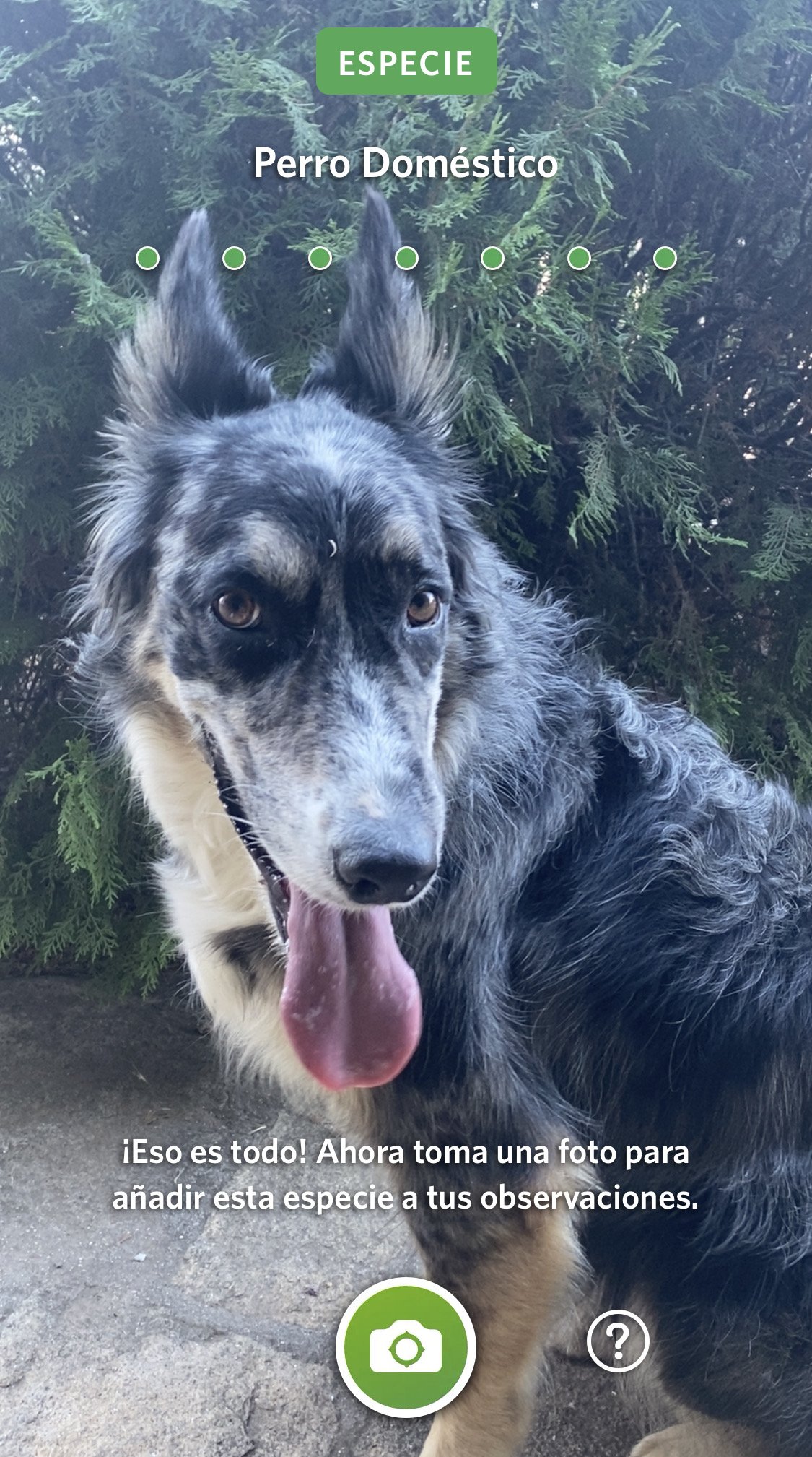
Here’s a little bonus: Seek is in no way specific for overlanding, but, as we spend a lot of time in nature, we really enjoy little bits of insight it offers. This app developed by National Geographic serves as a scanner for flora and fauna around you: you simply take a photo of the plant or animal in front of you, and Seek will try to identify it, and list basic information about its species and habitat. We think it’s a lovely way to get acquainted with biodiversity around you.
Seek helps you identify animals and plants around you.
Seek is completely free for Android and iPhone.


